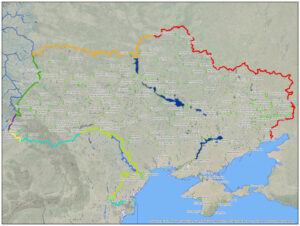
A few samples of maps done in the rather distant past, selected because image files happened to be readily available. Better, more recent projects will be added later.
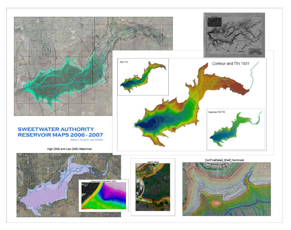
Poster created in 2007 during internship at Sweetwater Authority.
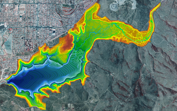
Elevation contours below waterline (blue) and above (green to red) from 2006 surveys.
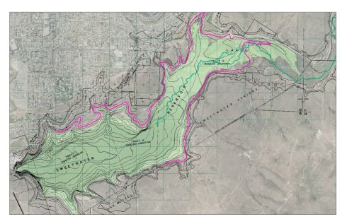
Shoreline Contour, 1931, with image of original hand-drawn map.
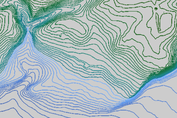
Water depth contours (detail)
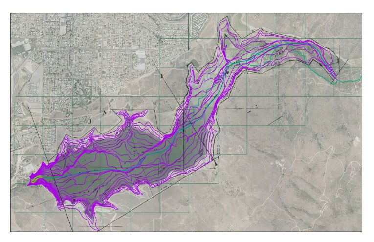
Depth contours from 1908 map
Sweetwater Reservoir elevation contour maps, created during internship at Sweetwater Authority, 2006-2007.
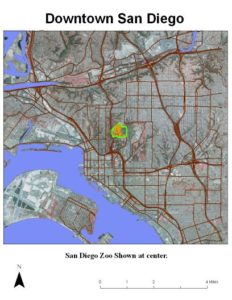
Downtown San Diego with the Zoo highlighted
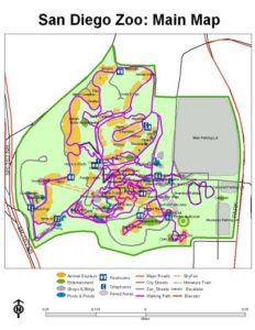
San Diego Zoo paths and display areas. Map created in 2006 for a Visual Basic project at Mesa College.
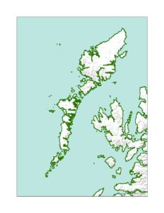
Administrative districts in the Hebrides. Simple dashed outline with no title or legend. More Scotland maps will be uploaded later.
School, Fun and Travel Maps

Customized KMZ file in Google Earth, with label.
KMZ layers with customized description displayed.


